
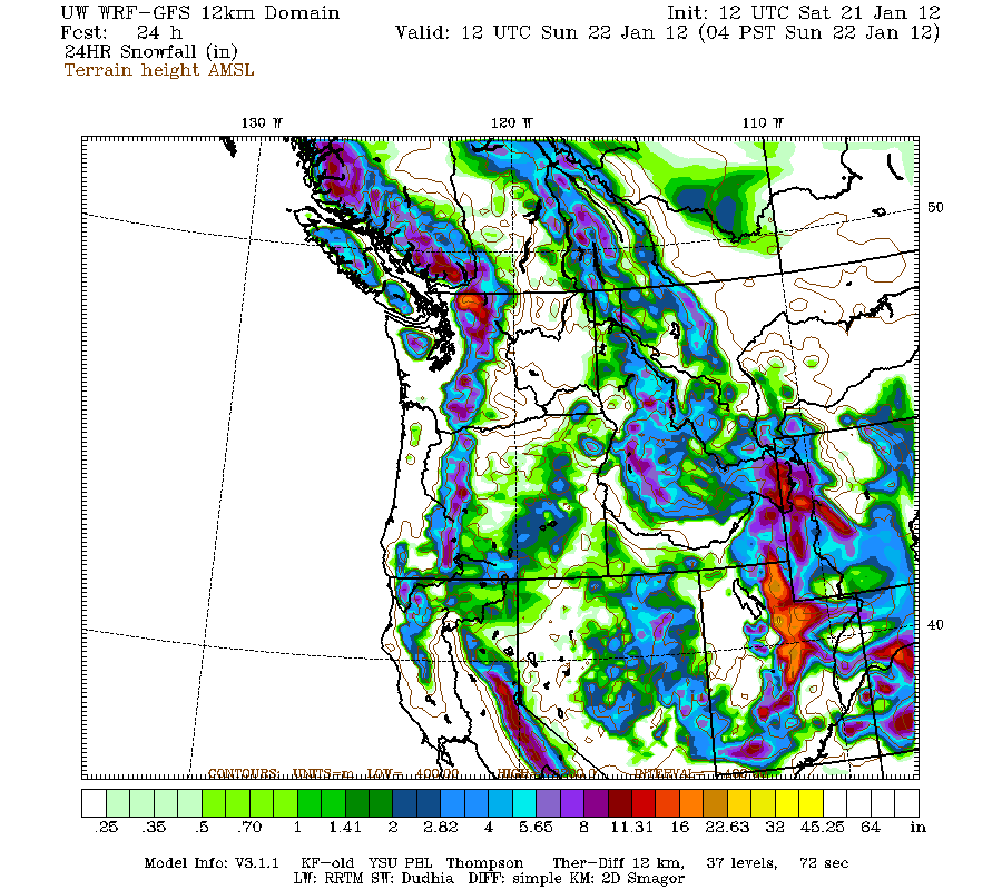
But another important weather story has been the huge increase in snowpack during the past week over the Cascades. Below is the NOAA snowdepth graphics comparing January 13th to today. Big increases. Enough to make ski operators and outdoor enthusiasts smile.
 |
| Before |
 |
| After |

In contrast, there is a real serious snow drought in California, with stations in the Sierra's at 10-15%. 6-12 inches new around Tahoe today....they need it. Utah and Colorado are also well below normal. Folks in those states like to smirk and criticize our snow. Not this year.
The Cascade passes have received a lot of snow (3-4 feet) during the past week, roughly doubling their snow depth. Here are the Snoqualmie totals: 43 to 80 inches!

And here are the snow depth graphs for Ollalie Meadows (near Snoqualmie) and Stevens Pass. Major jumps in snow the past week.
 |
| Ollalie Meadows |
 |
| Stevens |

With all this snow the avalanche danger in the Cascades is quite high. First we had an extended period of relatively cool conditions and little snow. That resulted in the formation of a surface crust. Then starting about a week ago we had a lot of snow under cool conditions. That produces low-density, fluffy snow. Perfect for skiing...Cascade powder! (Utah snow boosters take note!).
Over the past few days temperatures aloft warmed and there was lots of wetter, denser snow. So we have dense snow, over light snow, over a crust that acts as a ball-bearing for the upper layers to slide off of. That implies serious avalanche danger, and my colleagues at the Northwest Avalanche Center and the National Weather Service have warnings out. Back country skiing might not be a great idea today, and I would not be surprised if there is some avalanche work for some state highways.
Lost Dog Report
We have a few sightings the last week up in Mountlake Terrace...and we rushed up there immediately, but no luck. We then staged some food and attractive scents (chicken broth) and put a infrared controlled digital camera there to snap pictures of what came. Lots of business: local cats and a white/gray dog. An animal psychic told us that she connected our dog with a white van and a guy in his 40s.
A major problem with us is that some individuals (or others) are tearing down our signs (ALL OF WHICH ARE ON PRIVATE PROPERTY). Some kind people allowed us to put a sign on their property (48th Ave next to the Mormon Church). Now it is gone. Maddening.


