
It all ends this weekend.
Instead of the high-amplitude, persistent ridge in the eastern Pacific the atmosphere will transition to what meteorologists call zonal flow, in which the jet stream, and the strong flow associated with it, head straight into our region. Embedded in this flow there will be low pressure systems and fronts that will bring rain and wind every day or so. Temperatures will warm into mid-forties each day, clouds will never leave us, and fog and frost will be far less likely--normal weather for us mid-winter.
I am deathly afraid that this pattern will end our chances of being the driest December on record.
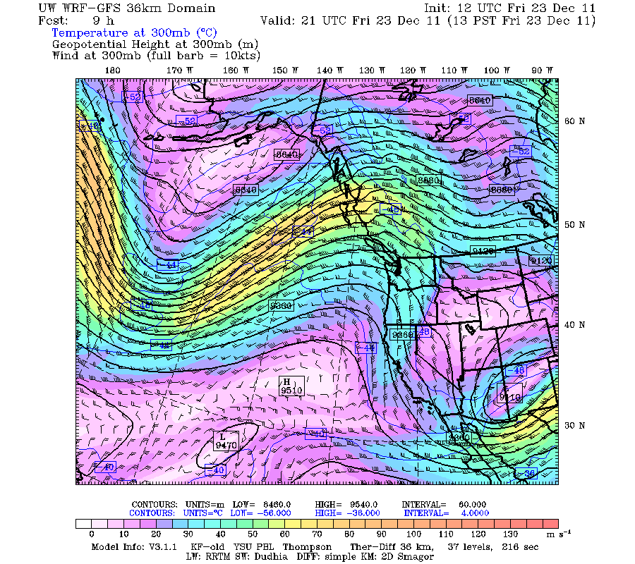
Just to illustrate, here are two upper level maps at a level where the jet stream is generally strong (300 hPa, roughly 30,000 ft) for today and next Wednesday. The shading gives the wind speeds. See the difference? Ridge versus zonal flow. You can think of the jet stream as the atmosphere's fire hose....and we will be on the receiving end.

With strong zonal flow it becomes increasingly difficult to get the timing of weather systems right--so don't be surprised if forecasts are off by 6 hrs or so, particularly for forecasts a few days out.
On vacation and want to escape this onslaught? Can't afford the exorbitant fares to Hawaii? Head to southern California. They will be sunny with temperatures heading into the upper 60s and 70s. No rain. Lots of sun. Ironically, the ridge has brought us the dry, sometimes sunny weather, produced cooler than normal conditions in the SW U.S. since there is cool northerly flow to the eastern side of the ridge. But with the ridge gone, southern CA temperatures will rebound.
And one more holiday gift....nearly all the long-range models indicate La Nina will disappear over the summer and next winter will have a very different character.
Happy Holidays....


