

Today will remain dry, but there is a good chance it will rain tomorrow (Sunday)!--more on that later.
Before I talk about tomorrow, I wanted to show another fascinating figure on our cloudiness issue this year, produced by Dr. Jim Johnstone (Dr. Fog), who I mentioned in my last blog. Beware! This is one hell of a depressing figure.
The grey bars show the average number of hours of cloudiness at Sea-Tac Airport per month (1=January, 12=December). 18-19 hours a day in midwinter, with a gradual reduction to about 15 in June. Then a HUGE decrease to around 11 in July, a graduate increase through September, and a jump up in October. All locals know about this pattern--we have three months of relatively bountiful sun: July through September.

But now the depressing part. The black line shows this year. You will notice that we have maintained wintertime cloud levels through June. And I guarantee you that when July numbers get plotted in a few days, we will be way above normal (probably 15-16). This figure, more than any other, expresses the unhappy moods of so many.
But yesterday was simply spectacular and today will be the same. I was on the East Coast last week and experienced 103F with dew points in the mid to upper 70s. Personally, I would rather have the cooler, milder weather.
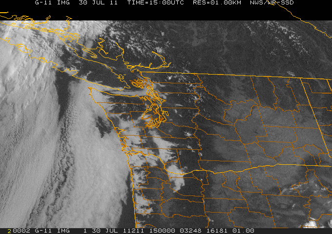
This morning some low clouds along the coast pushed in through the Strait and Chehalis Gap...but are rapidly burning off as I write this (see image).

The windward side of the Cascades will be a soggy place to hike and conditions will deteriorate rapidly going into BC. So go south and east for better conditions. Low clouds will spread over the west. But improvement beckons on Monday...


