
 The central pressure of this low was not that impressive (perhaps 996 mb), but the track was perfect to give us the best such a modest system could muster.
Strongest winds were 60 mph in North Bend and 56 mph on Alki (which had the advantage of being surrounded by low-friction water). Many locations had gusts between 40 and 55 mph and several thousand people lost power. Kind of amazing to me that there are still trees and branches to come down after all the wind events we have had this winter.
Sitting in my house now I can hear the gusts... If you want to see some neat videos of today's winds...take a look at the video interface on the right of the blog.
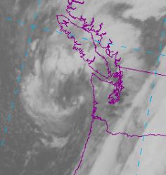
One of the most dramatic events today occurred as the low moved inland and air surged eastward into the Strait. The leading edge of the strong winds often has very heavy precipitation, since the surging flow pushes the air in front of it upward. Here is a radar image at 5:35 PM showing how this looks. There are red echos in there...really pouring.

And take a look at the winds at 6 PM (below)....40 kt sustained winds at some surface locations. I would not want to take the Victoria Clipper today! (click to get big image)


