
First, what is a hurricane? The official definition is that a hurricane is a tropical cyclone with SUSTAINED winds of 64 kt or more (74 mph or more). A gust of 65 kt or more does not indicate a hurricane unless the sustained winds reach 64 kt.
I took a look at all the observations over Virgina, Maryland, Delaware, New Jersey, and New York. Not one National Weather Service or FAA observation location, not one buoy observations, none reach the requisite wind speed. Most were not even close.
Surely, one of the observations upwind of landfall, over Cape Hatteras or one of the other barrier island locations, indicated hurricane-force sustained winds? Amazingly, the answer is still no.
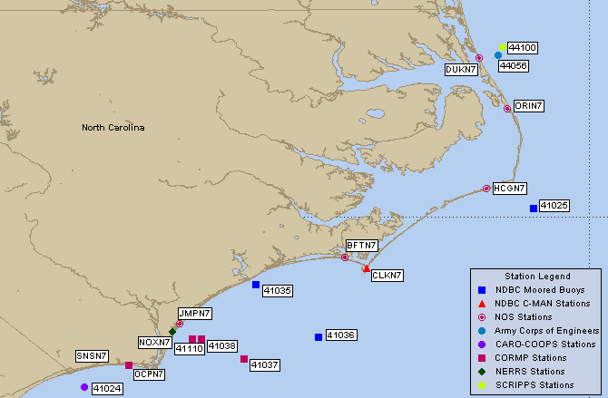
Here is a map for reference. The strongest winds I could find was at Cape Hatteras (CLKN7) where the winds got to 59 kt.

Or buoy 36, south of Cape Hatteras over the water...only got to 49 kt there.

Or plot the winds when the storm was just making landfall...no sustained winds even close (see graphic). Solid triangle is 50 knots, big line is 10 kts, small line is 5 kts. Look for a triangle, solid line and small line (65 kt), or more....none exist.

Yes, there were a handful of hurricane-force wind reports but none of them were from official stations and there is considerable doubt about their reliability. Furthermore, satellite imagery clearly showed a poorly formed storm off of North Carolina--with little evidence of an eye.
The truth is that there was little chance of intensification of the system as it moved up the East Coast. Storms derive their energy from warm ocean water and the second the storm made landfall half of the storm was over land--which saps the strength of the system. The other half was over increasingly cool water. This system was toast. But as a tropical storm weakens and "goes extratropical" there is a tendency for the precipitation to swing to the W an NW of the storm. That is exactly what happened . The big threat was flooding, not winds.
I assume that upon further study the NWS will eventually downgrade this storm as it moved up the East Coast. Considering the tendency for media to hype storms it it crucial for meteorologists to stick to the exact story and not overwarn in the hope of encouraging people to take effective action. If the storm was known NOT to be a hurricane earlier might the Mayor of NY have held off closing the City down, thus saving billions of dollars?


