
Why?
Night is getting fairly long, giving a good opportunity for the surface to cool off by emitting infrared radiation. And with a lack of clouds aloft, that radiation has a good shot at leaving our planet. Cooling the lowest layer of the atmosphere often produces saturation..and clouds or fog.
Take a look at the visible satellite imagery this morning at roughly 8:30 AM--lots of low clouds over the lowest elevations: Puget Sound and the Willamette Valley. You can also see some fog-filled valleys in BC.

One of the interesting things we learned when satellite imagery became available is that fog and low clouds tend to burn in from the sides towards the center. Watch it happen today in the images below:
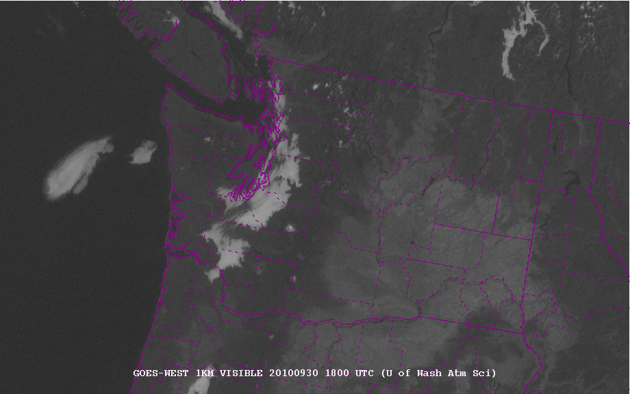
11 AM...you can also see the arid areas of eastern WA and Oregon (lighter colors)
 2 PM...almost all gone.
The low-level cool air associated with clouds is quite apparent on the Seattle profiler (see below). This figure shows you the temperature variation with height from 5 AM (yellow) through 11 AM (black). Height is in meters. The cold air is about 400 m (1300ft) deep, with a strong inversion (temp increasing with height) above.
 If you had hiked up Tiger Mountain or some other lowland peak this morning, the temperatures would have warmed by nearly 10C (18F) in 200 m (650 ft)--something you would have noticed. Such inversion conditions are often evident in fall. So if it is cloudy in the lowlands, don't give up on your hike. Check the satellite picture and it may be clear and warm above.


